Ficheiro:Gesta hungarorum map.jpg

Dimensões desta antevisão: 746 × 599 píxeis. Outras resoluções: 299 × 240 píxeis | 597 × 480 píxeis | 956 × 768 píxeis | 1 274 × 1 024 píxeis | 2 240 × 1 800 píxeis.
Imagem numa resolução maior (2 240 × 1 800 píxeis, tamanho: 889 kB, tipo MIME: image/jpeg)
Histórico do ficheiro
Clique uma data e hora para ver o ficheiro tal como ele se encontrava nessa altura.
| Data e hora | Miniatura | Dimensões | Utilizador | Comentário | |
|---|---|---|---|---|---|
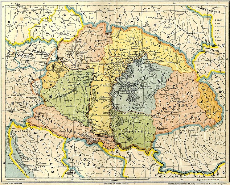
| atual | 22h06min de 22 de maio de 2011 |  | 2 240 × 1 800 (889 kB) | WikiEditor2004 | {{Information |Description ={{en|1=Map of Central Europe in the 9th century before arrival of Hungarians, according to Hungarian historian Dr. Márki Sándor. Map reflects data from Gesta Hungarorum chronicle and it show medieval duchies of Braslav, Sa |
Utilização local do ficheiro
As seguintes 2 páginas usam este ficheiro:
Utilização global do ficheiro
As seguintes wikis usam este ficheiro:
- bg.wiki.x.io
- br.wiki.x.io
- ca.wiki.x.io
- cs.wiki.x.io
- de.wiki.x.io
- en.wiki.x.io
- es.wiki.x.io
- fi.wiki.x.io
- fr.wiki.x.io
- he.wiki.x.io
- hr.wiki.x.io
- hu.wiki.x.io
- it.wiki.x.io
Ver mais utilizações globais deste ficheiro.